
How Weather Satellites Support Global Forecasts
Weather satellites do more than photograph clouds. Learn how different orbits, ground observations, data sharing, and forecasting systems turn space-based measurements into useful predictions.
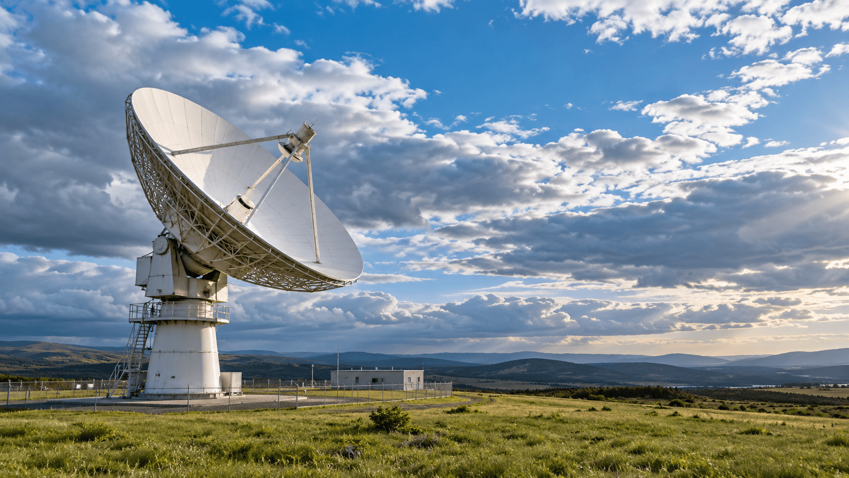
A Local Forecast Starts With a Global Picture
The forecast for one town depends on weather far beyond its horizon. Conditions over an ocean or another continent can help determine what arrives several days later. Observing only the places where people live would leave important gaps in that picture.
Weather satellites help fill those gaps. They collect information across oceans, remote land, and polar regions, supporting both the monitoring of developing weather and the models used to predict it. The European Centre for Medium-Range Weather Forecasts, or ECMWF, describes satellite observations as a major contributor to improved forecasting alongside better models and techniques for using the data.
The familiar animation of clouds is one visible result. Behind it sits a longer process: detecting signals, checking measurements, combining different observations, running forecasts, and delivering information people can use. Understanding those steps makes it easier to judge what a new satellite can actually improve.
Different Orbits Answer Different Questions
Geostationary satellites maintain a view of the same part of Earth from above the equator. They orbit with Earth's rotation, allowing repeated observations of a broad region. EUMETSAT explains that this steady view is particularly useful for watching rapidly developing weather, including storms.
Polar-orbiting satellites travel much closer to Earth on routes passing near the poles. As Earth rotates beneath them, successive passes observe different areas. Their instruments contribute imagery and information about atmospheric temperature and moisture across the globe.
These arrangements complement each other. A repeated regional view helps forecasters follow change over short intervals. Measurements gathered along polar orbits add information across a wider global observing network.
For a reader evaluating a launch announcement, the useful question is therefore specific: what observing gap will this mission address? A claim about more frequent images means something different from a claim about improved atmospheric measurements. Neither can be assessed simply by counting satellites.
The Instruments Measure More Than Cloud Shapes
Satellite imagery comes from measurements at particular wavelengths. Different channels reveal different features, and an image's colors need interpretation.
Visible imagery uses reflected sunlight to show features such as cloud patterns. Conventional visible images depend on daylight. Infrared imagery detects emitted radiation and can reveal cloud features during both day and night. Water-vapor imagery provides information about moisture and circulation in parts of the atmosphere.
The US National Weather Service explains these as distinct tools for examining weather. They should not be treated as interchangeable photographs.
Japan's Meteorological Agency adds an important caution: high, cold clouds in infrared imagery may be storm clouds or thin cirrus. A bright area does not necessarily mean heavy rain is falling beneath it. Color-enhanced products also use assigned colors to represent information derived from measurements.
Before sharing a dramatic image, check its channel, legend, observation time, and explanation. An animation may show a developing system clearly while still leaving unanswered questions about conditions at street level.
Measurements Become a Starting Point for Prediction
A satellite observation describes evidence about conditions when it was collected. A forecast estimates how conditions will evolve. Moving between the two requires more than extending a cloud animation into the future.
ECMWF uses data assimilation to combine new observations with a short-range forecast. This produces an updated estimate of the current state, called an analysis, from which the next forecast can begin. Satellite measurements enter a system that also uses observations from other platforms.
Neither the observations nor the model are perfect. ECMWF explains that uncertainty in the starting state matters because small differences can develop into different weather patterns. Ensemble forecasting explores multiple plausible outcomes rather than assuming that one predicted sequence is certain.
This distinction helps explain why an improved observing instrument does not promise a flawless local forecast. Its contribution must be assessed through the forecasting system, including how well the information is used and which predictions improve.
Weather Balloons and Surface Stations Still Matter
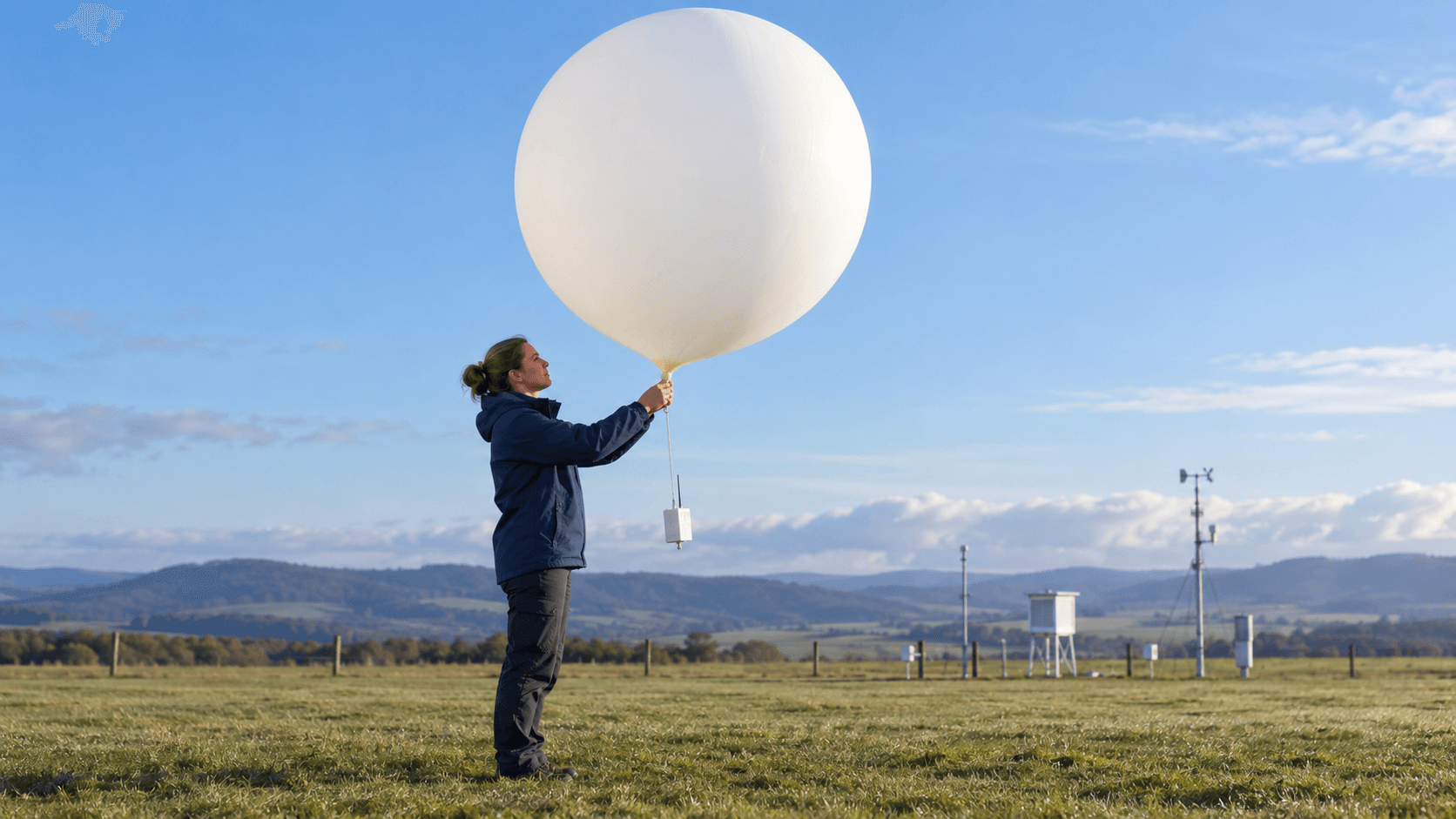
The view from orbit does not make measurements nearer the ground redundant. Weather stations, balloons carrying instruments called radiosondes, aircraft, ships, and buoys contribute different kinds of evidence.
ECMWF describes these observations as essential complements to satellite data. They help identify biases, support calibration and validation, and provide local detail that a satellite cannot always capture directly.
This means investment should be considered across the observing network. An impressive new space instrument and a maintained surface station can support the same forecasting service in different ways. Treating them as competing substitutes misses that relationship.
For water managers, the distinction is especially practical. Atmospheric observations need to be considered alongside information about the basin itself. Our guide to cooperation over shared rivers explains why river gauges, reservoir records, and agreed information exchange remain central to managing conditions across borders.
International Exchange Makes Observations Useful Elsewhere
Weather services benefit from information collected outside their own territory. A country does not need to own every observing platform to use evidence from a broader international system.
The World Meteorological Organization's Unified Data Policy provides a framework for exchanging Earth-system data. It emphasizes free and unrestricted exchange and covers weather alongside areas including hydrology, oceans, and atmospheric composition.
That policy addresses an essential coordination problem: observations become more useful when other services can receive and interpret them. For a proposed partnership, it is reasonable to ask who gets access, how quickly information arrives, and what technical support recipients need.
Access should also be distinguished from operational capability. A service may receive data yet still need trained staff, dependable computing, and procedures for incorporating it into daily work. A credible cooperation plan should explain that transition, rather than presenting delivery of a data stream as the final outcome.
Quality Requires Work After Launch
Putting an instrument in orbit begins an operating service. It does not end the scientific work needed to understand its measurements.
EUMETSAT conducts calibration and validation studies to improve existing products, establish the accuracy of new ones, and prepare for future missions. Calibration connects an instrument's signals with meaningful measurements; validation examines how well resulting information represents the conditions being observed.
For readers, that creates a useful distinction between a first image and demonstrated operational value. A first image shows an important milestone. Evidence about measurement quality and forecast performance answers a different question.
When reporting an upgrade, look for the comparison being made. Is the announcement about a sharper display, a new measurement, faster delivery, or a verified improvement in forecasts? Those benefits can overlap, but they are not equivalent claims.
Forecast Information Needs People Who Can Act

Even a useful forecast needs a route into decisions. Someone must interpret the information, explain uncertainty, identify the people affected, and connect the message with a practical response.
Consider a hypothetical local authority preparing for possible severe weather. Its planning questions include who receives updates overnight, who can authorize preparations, and how residents without reliable internet will hear about a change. Better observations help the forecasting service; these arrangements help the community use its advice.
Our explainer on how early warning systems turn forecasts into action follows that connection from monitoring through communication and preparedness.
The same attention to roles and usable information matters after an emergency. The coordination challenges described in international disaster relief after an earthquake illustrate why a shared operating picture needs clear responsibilities, current reports, and working communications.
Five Questions to Ask About a New Mission
When the next weather satellite makes headlines, these questions help connect its technical capabilities to public value:
- What will it observe? Distinguish cloud imagery from measurements used to understand atmospheric conditions.
- Where and how often? Ask which regions receive coverage and how frequently useful observations become available.
- How will quality be established? Look for calibration, validation, and evidence about the intended application.
- Who can use the data? Examine exchange arrangements and the capacity of receiving weather services.
- What improves for the recipient? Seek a clear explanation of the forecast or decision the mission is meant to support.
Weather satellites extend the reach of observation. Their public value emerges through the connected work of instrument teams, ground networks, international partners, forecasters, and the people who turn advice into preparation.
Images are AI-generated conceptual illustrations, not photographs of a specific facility, balloon launch, or meeting.